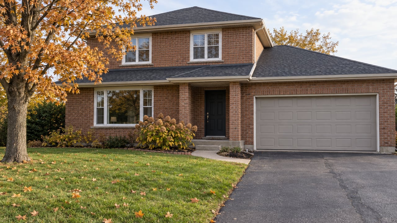
When someone describes Kortright Hills as close to the Hanlon, which direction do they mean?
Today that question doesn't matter. The signalized intersection at Kortright Road and Downey Road lets you turn onto Highway 6 in either direction. Under the plan the Ontario Ministry of Transportation is now taking into detailed design, it would matter a great deal. On September 15, 2026, MTO posted a Notice of Study Commencement for the Highway 6 (Hanlon Expressway) interchanges from Maltby Road north to the Speed River. The approved design it carries forward replaces the Kortright/Downey intersection with a partial interchange, "Highway 6 access to and from the south only."
For anyone weighing Kortright Hills against other parts of southwest Guelph, the point is simple. The neighbourhood's highway access would stay direct for trips heading south and become indirect for trips heading north. The province has not said when any of it will be built.
What restarted in September
The plan itself isn't new. MTO finished a Planning and Preliminary Design Study for this stretch of the Hanlon in June 2009, and its Transportation Environmental Study Report, or TESR, was approved on November 17, 2009. The only piece built so far is the Laird Road interchange, finished in 2011. The new study covers everything else the 2009 report recommended.
According to the project overview, that remaining work includes:
- Upgrading Highway 6 within the study limits to a controlled-access freeway
- A partial interchange at Kortright Road/Downey Road, with access to and from the south only
- A full interchange at Stone Road
- A bridge at College Avenue with no connection to the highway
- A new municipal connection road west of Highway 6, between Woodland Glen Drive and the new Stone Road interchange
- Closing Hanlon Road south of Flanders Road
- Pavement, lighting, stormwater, drainage and utility work
The September notice also leaves room for change. MTO will check whether significant changes have happened since 2009. If they have, a TESR Addendum will be posted for a 30-day public and agency review. Detailed design will then be documented in Design and Construction Reports, which will also be open for review. So the 2009 drawings are the approved starting point. They aren't final.
Why the ramps only face south
The 2009 study explained the limit at Kortright/Downey with a matter of spacing. A full interchange couldn't go there "because the interchange ramps to and from the north would overlap with the proposed interchange ramps at Stone Road." College Avenue loses its connection for the same reason, since its ramps would overlap with those at Stone Road and Wellington Street.
The split comes from ramp spacing. Stone Road is the interchange the plan builds to handle all movements, and nearby crossings give up some or all of their direct access so its ramps have room.
The project team was open about the trade-off when it answered public comments in the 2009 report:
"We acknowledge that local traffic patterns will change and that there will be some out-of-way travel required to access the highway. However, the removal of the at-grade intersections will result in fewer delays on the Hanlon Expressway, and significant safety improvements for the traveling public."
That response is in the 2009 TESR, which is posted on the project website.
The same trips, today and under the plan
The new service road is how the plan makes up for the missing northbound ramps. The 2009 report says it "provides direct access from the Kortright Hills area to Highway 6 northbound" and gives the west side of the Hanlon a north-south municipal connection in place of the College Avenue extension, which City Council had declined to support. Scottsdale Drive already plays that role on the east side.
| Trip from Kortright Hills | Today | Under the approved plan |
|---|---|---|
| Onto the Hanlon heading south | Turn at the Kortright/Downey signal | Ramp at the Kortright/Downey partial interchange |
| Onto the Hanlon heading north | Turn at the Kortright/Downey signal | West-side service road from Woodland Glen Drive to the Stone Road interchange |
| Coming home from the south | Turn at the Kortright/Downey signal | Ramp at Kortright/Downey |
| Coming home from the north | Turn at the Kortright/Downey signal | Exit at Stone Road, then local roads west of the highway |
| Crossing at College Avenue | Signalized intersection | Bridge over the highway, no ramps |
The table puts the thesis in practical terms. Under the plan, trips south from Kortright Road keep a direct ramp at Kortright/Downey. Trips north, including the highway route toward the College Avenue and Stone Road areas, would go through Stone Road. The plan also adds things that aren't about the highway. The 2009 TESR calls for bike lanes and pedestrian sidewalks at the Laird, Kortright/Downey, Stone and College crossings, along with minor trail relocations at Kortright/Downey, Stone and College.
Which streets the 2009 report names
At the street level, the 2009 report gets most specific about noise. It proposed noise barriers generally 3 to 5 metres high, placed where they could cut sound for the first row of homes by at least 5 dBA. The report proposed them on both sides of Highway 6 between Kortright/Downey and College. The project team also said it was looking at other noise wall locations, including a combined wall and berm between the proposed West Service Road and Old Colony Trail and Wagoners Trail. Height, colour and landscaping were left to detailed design.
Detailed design is the stage that started in September. For homes near the Hanlon edge of the neighbourhood, including around Woodland Glen Drive, Old Colony Trail and Wagoners Trail, the 2009 drawings show where a service road and noise walls were proposed. Those drawings don't show where they will end up. The current project FAQ doesn't give specific answers on noise walls or property effects. It says environmental investigations will identify impacts and ways to reduce them.
Why "planned" doesn't mean "scheduled"
The restarted study may make construction sound close. The province's own program documents say otherwise. MTO's Southern Highways Program, dated May 29, 2026, lists "Maltby Rd. to Speed River, Guelph" as an upcoming expansion with a status of "Planned" and a stage of "Planning/EA underway." The completion year is listed as "Not available," and the delivery method as "To be determined." The cost range is $500 million to $1 billion.
The project schedule page says construction scheduling will come after property acquisition, utility relocation, environmental approvals and "funding availability." The City of Guelph's MTO page lists the same conditions and gives no construction year for this stretch. The FAQ says the work is expected to take several years, with timing to come later.
This plan has been waiting a long time. In 2017, GuelphToday reported that MTO had no construction timeline for the same three changes at Kortright, Stone and College. Nine years later, the design work has moved forward and there is still no timeline.
For someone deciding today, that cuts both ways. A home bought this winter comes with the current signal at Kortright/Downey for as long as it lasts, and nobody can say how long. It also comes with an approved design that, once built, would send the northbound trip through the service road and Stone Road.
What comes next
The notice says MTO will hold a Public Information Centre so people can talk with the project team. The time and place will be announced in local newspapers, posted on the project website, and mailed to the project mailing list. As of late October 2026, the consultation page said details would be published later and listed no date.
Here's what to watch for, roughly in the order it should show up:
- The PIC notice, which will be the first chance to see current drawings for the Kortright/Downey ramps and the west-side service road
- Any TESR Addendum, which would mean MTO found significant changes since 2009 and would start a 30-day review period
- The Design and Construction Reports, where final noise wall locations and the service road alignment should be set out
- A later Southern Highways Program listing that gives a completion year or delivery method in place of "Not available" and "To be determined"
The notice says anyone who contacts the project team can join the mailing list. The contacts listed are Charles Organ, Senior Project Manager with MTO West Region, and Patrick Puccini of the consultant, AECOM Canada Ltd.
A few common questions
Will the Kortright Road connection to the Hanlon close? Not under the approved plan. Kortright/Downey becomes a partial interchange with access to and from the south. The movements that change are the ones to and from the north.
Is the 2009 design locked in? It's the approved starting point. The September 2026 notice says MTO will check whether conditions have changed significantly, and if they have, it will publish an addendum for public review.
Has the Hanlon work south of Maltby Road already started this project? That's a separate project. The Laird Road interchange from the original 2009 recommendations was built in 2011. The interchanges at Kortright/Downey, Stone and College are what the new study covers.
If you're thinking about a home in Kortright Hills and want to know how the Hanlon plan affects a particular street or commute, the team at Andra Arnold can go through the published drawings with you and keep an eye out for the PIC notice so you see the updated design as soon as it's posted. Contact Us when you're ready to talk it through.